


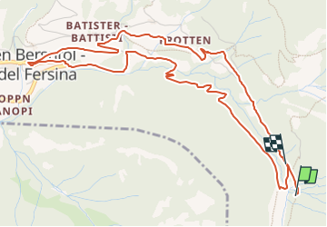

6,3 km | 10,8 km-effort

Tous les sentiers balisés d’Europe GUIDE+


Gratisgps-wandelapplicatie
 SityTrail
IGN / Geografische instituten
SityTrail World
De wereld gaat voor u open
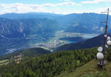
Tocht Te voet van 6,4 km beschikbaar op Trento-Zuid-Tirol, Provincia di Trento, Palù del Fersina - Palai en Bersntol. Deze tocht wordt voorgesteld door SityTrail - itinéraires balisés pédestres.
Trail created by Comune di Palù.
Parco Minerario Alta Valsugana e Bersntol

Te voet
Te voet
Te voet
Te voet
Te voet
Te voet
Te voet
Te voet
Te voet